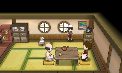
Ok, so someone noted a weird framed map in the south-eastern house in Dewford Town
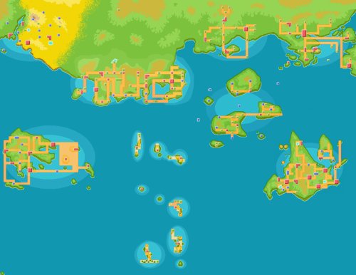
Looks weird, right? Well someone on GameFAQs noticed it looked somewhat like this
This is a small version of a large map a friend & I made for my site's Pokéarth section (location database). It contains the main game regions Kanto, Johto, Sinnoh, Hoenn, Sevii Islands as well as side game regions Orre (in north west, the big desert), Fiore, Almia and Oblivia. My friend made the DP versions of the other regions and I placed them together in a large map
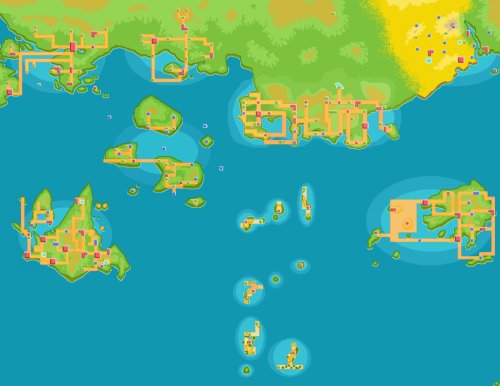
Now, let's flip that
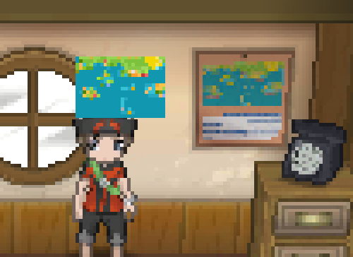
And resize it to match the image's size in Dewford as much as possible. Pixel resize rather than bilinear/bicubic resample to keep colour as much as possible
The resemblance is utterly uncanny. It's hard to dismiss this as a coincidence, and I am shocked. Going to investigate this further as there has to be a more logical explanation.


